
Picton to Wānaka caravan route
Stepping off the Cook Strait ferry at Picton with a caravan on the back, Wānaka feels a long way south — because it is. This is one of the great South Island transfers: the full length of the east coast and up into the Southern Lakes. It's very doable in a caravan or motorhome, but it's a trip to break over a couple of days, not blast in one. Here's the sensible route, where to stop, and the bits that catch tourers out — starting with the fact you've just spent three hours on a ferry.
- Distance
- ~750 km via the east-coast (SH1 / SH8) route
- Driving time
- ~9–10 hours; plan 2–3 days with a caravan, not one
- Main route
- Picton → Kaikōura → Christchurch → Lake Tekapo → Lindis Pass → Wānaka
- Scenic alt
- Inland via Lewis Pass → West Coast → Haast Pass → Wānaka
- Best time
- Nov–Apr; the Lindis is alpine, so carry chains Jun–Sep
The short version
- Don't tow it all in one day off the ferry — you've just crossed Cook Strait. Make day one short.
- Take the east-coast route (Kaikōura → Christchurch → Mackenzie → Lindis) — it's the most direct and the easiest towing.
- Mind the Kaikōura coast — exposed, windy, slip-prone, with scheduled night closures south of Kaikōura. Drive it in daylight.
- Break it in the Mackenzie — Lake Tekapo or Twizel make a great middle night.
- The Lindis Pass is the alpine finish — fine for caravans, but carry chains in winter.
Which route: coast or inland?
There are two sensible ways south. The east-coast route runs down State Highway 1 through Kaikōura to Christchurch, then inland on State Highway 8 through the Mackenzie Country — Lake Tekapo, Twizel, Omarama — and over the Lindis Pass into Wānaka. It's the most direct (~750 km) and by far the easiest towing.
The scenic inland alternative heads over the Lewis Pass to the West Coast, then south and up the spectacular Haast Pass into Wānaka. It's longer, more demanding to tow, and worth it if you have the days and want the West Coast — but for most caravans arriving on the ferry, the east-coast route is the one to take, and it's the one this guide follows.
The drive, broken into days
Day 1: Picton → Kaikōura (~2 hours, ~155 km)
Keep the first day short — you've just crossed Cook Strait. Out of Picton it's through the Marlborough wine country around Blenheim, then down the coast to Kaikōura: whales, fur seals, crayfish, and a sea-view camp to settle the nerves after the ferry. (More on the coast road below.)
Day 2: Kaikōura → the Mackenzie (~4 hours, ~330 km)
Carry on down the coast to Christchurch (a good supplies and city stop if you'd rather overnight there), then turn inland through Geraldine and Fairlie, over Burkes Pass into the Mackenzie. A night at Lake Tekapo or Twizel puts you among the best scenery in the country — and within reach of Aoraki / Mount Cook.
Day 3: the Mackenzie → Wānaka (~2 hours, ~150 km)
The last leg climbs the Lindis Pass (971 m) — a sweeping run through golden tussock — then drops to Cromwell and along to Wānaka and its lake. Fine for a caravan, just take the pass steadily and carry chains if it's winter.
The stretch to plan around: the Kaikōura coast
Where to stay along the way
- Kaikōura — holiday parks with sea views; the natural short first night after the ferry.
- Christchurch — holiday parks if you'd rather a city overnight and a supplies run.
- Lake Tekapo / Twizel — holiday parks and DOC sites in the Mackenzie; the ideal middle night.
- Wānaka — holiday parks by the lake to settle into at the end.
Frequently asked questions
Can I drive Picton to Wānaka in one day with a caravan?
You physically can — it's ~9–10 hours — but you shouldn't. You've just crossed Cook Strait, and towing that far in a day is tiring and skips the best of it. Two or three days is far more relaxed and safer.
Is the Lindis Pass okay for a caravan?
Yes — it's a well-built alpine highway with gentle grades. Take it steadily, and carry chains in winter when snow and ice are possible.
Should I go via the West Coast instead?
Only if you have the extra days and want it — the Lewis Pass / Haast route is spectacular but longer and more demanding to tow. For a straightforward transfer to Wānaka, the east coast is the sensible choice.
Sources & further reading: road status, Kaikōura coast night closures and conditions — NZTA Waka Kotahi Journey Planner; the ferry — Interislander / Bluebridge; campsites — Department of Conservation. Distances and times are approximate and were last reviewed on 19 June 2026.
This guide is general touring information, not legal or driver-training advice, and conditions change quickly. Always follow road signs and NZTA Waka Kotahi guidance, check the road status (especially the Kaikōura coast and alpine passes) before you set off, confirm campsite availability and self-containment rules, and drive to the conditions on the day. Touring Brain is independent and not affiliated with NZTA, DOC or any ferry or rental operator.
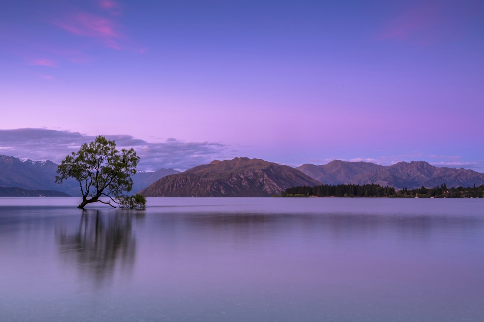
Photo: That Wānaka Tree, Lake Wānaka — Ken Cheung (Unsplash).